Mission-critical GEOINT
- Access to secure and source-diversified Earth Observation satellite virtual constellation.
- Including Multispectral, optical VHR, SAR, RF Detection and Thermal.
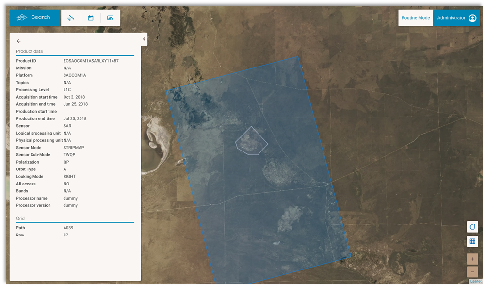
- Multi-mission User Care System for satellite programming, image acquisition, delivery requests management and product catalog.
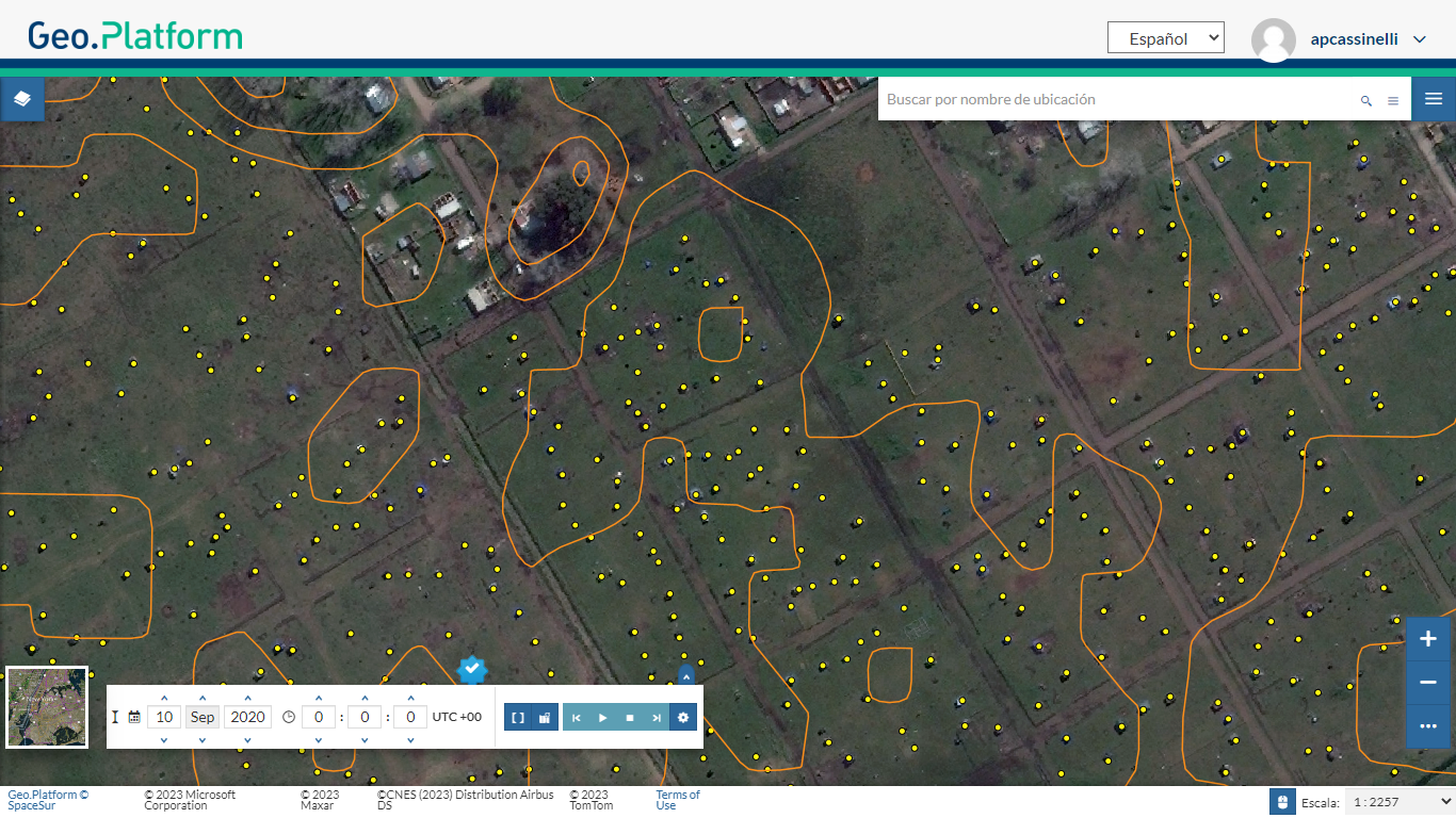
- Geospatial project management, visualization and analysis tools.
- Spatial data science lab and image processing software.
- On-premises scalable private cloud infrastructure.
- Compliance with cyber security policies.
Specialized Solutions and Analytics
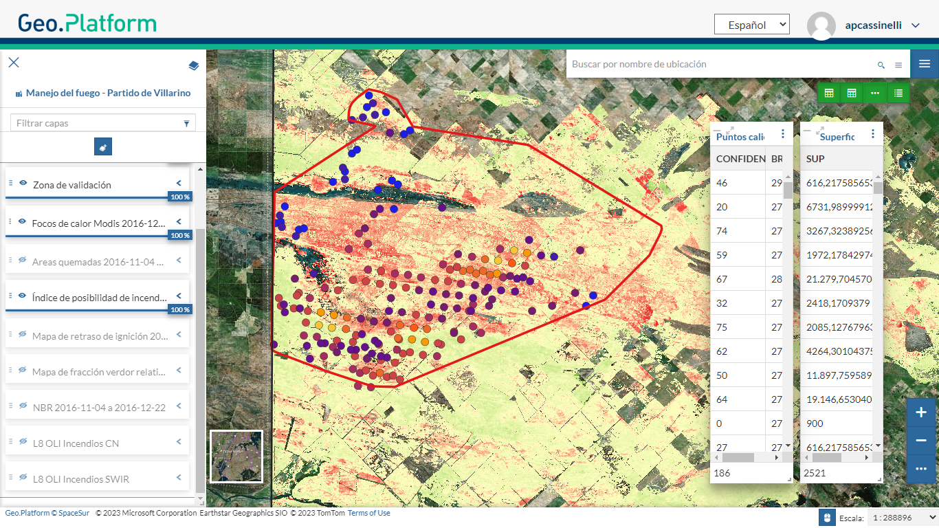
- Risk mapping and rapid response to emergencies and catastrophes (wildfire, floods, landslides, etc.)
- Border control and monitoring.
- Illegal traffic detection (terrestrial and maritime).
- Surveillance and control of targets and exclusion areas (terrestrial and maritime).
- Vehicle and suspicious objects automated detection and identification.
- Terrain mapping, 3D, permeability, and intelligence support to operations and missions.
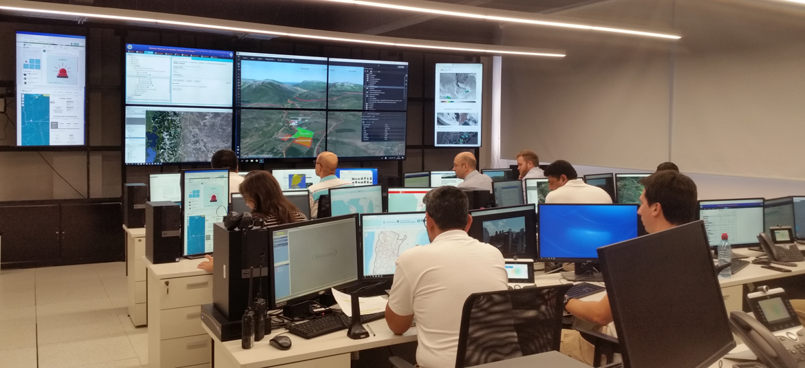
Critical Geospatial Intelligence
Rapid response to emergencies
Virtual Constellation User Interface


