SpaceSUR, together with a team of geotechnology specialists from UNICEN University launched the «Smart Cities Program. Geospatial tools at the service of Government 4.0" in the Municipality of Coronel Suárez.
This Program, which in this first phase has the support of the Ministry of Production of Argentina, aims to implement digital transformation strategies for Government 4.0 in the cities and local governments based on the application of EO satellites and geospatial technologies.
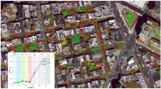
The digital transformation strategies consist in solutions for Spatial Data Infrastructure (SDI), Multipurpose Cadastre, Infrastructure and Change Control, Trees and Green Spaces, Environment and Waste, Comprehensive Risk Management, among others, based on our big data geospatial platform Geo.Platform, Earth observation satellites, specific training and expert consulting.
These solutions and experiences were designed based on scalable technologies and services throughout the national territory with the aim of reaching a wide range of Cities and Local Governments, training them and supporting them in their digitization processes for a more intelligent, efficient and closer government to every citizen.

